Complete Guatemala Guide
Guatemala fits in a pocket handkerchief, barely larger than Portugal, yet concentrates 37 volcanoes, lost Mayan cities deep in the jungle, and 23 indigenous languages still spoken daily. From our agency in the capital, we see travelers seamlessly chain the ascent of Acatenango at 3,976 meters and swimming in the turquoise pools of Semuc Champey, six hours of rough track to the north.
Four regions structure most of our itineraries. The western highlands, around Lake Atitlán and Chichicastenango, concentrate living Mayan culture with Thursday and Sunday markets. Antigua, the former colonial capital at the foot of Agua volcano, often serves as a cultural entry point. Petén, in the north, is home to Tikal and the less-frequented ruins of El Mirador and Yaxhá, deep in tropical forest. The Caribbean coast toward Livingston and Rio Dulce offers a very different Garifuna atmosphere, Creole and Afro-Caribbean.
Allow 12 days minimum to combine highlands and Tikal without rushing. Three weeks allow you to add the Caribbean coast or secondary archaeological sites. The dry season, from November to April, remains the most comfortable window, but the green months from June to September offer far more photogenic landscapes in the highlands. Our team based in Guatemala City guides you on regional breakdown according to your length of stay and pace.
The regions of Guatemala
Each region has its own personality: climate, landscapes, pace of life and ways of traveling. Our local team helps you choose the combination that suits you.
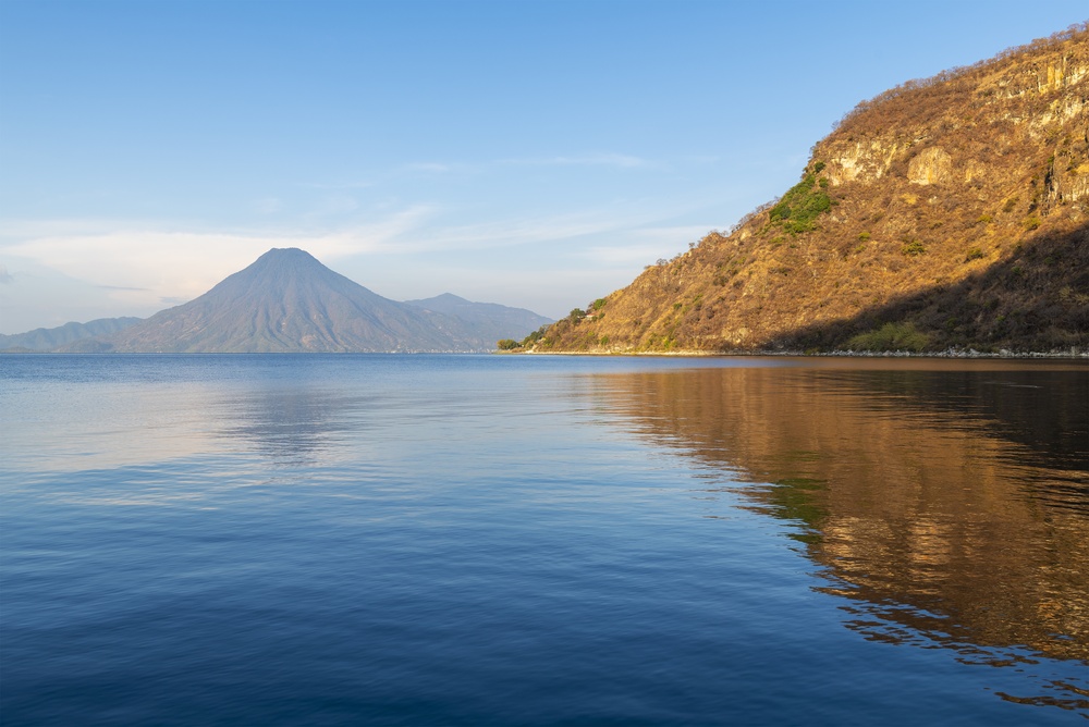
Mayan Highlands
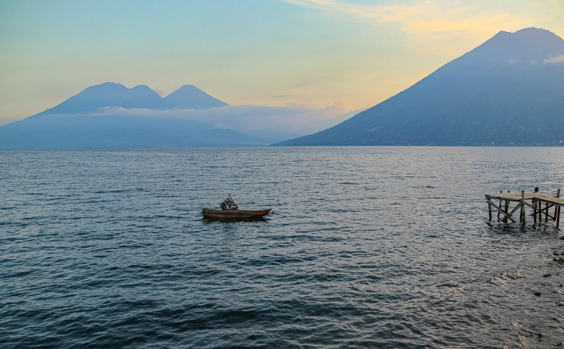
The country's cultural heart extends around Lake Atitlán, bordered by three volcanoes reaching over 3,500 meters. Tzutuhil and Cakchiquel villages such as Santiago Atitlán and San Juan La Laguna are connected by lancha from Panajachel. Further north, Chichicastenango holds its main market on Thursdays and Sundays, where Quiché women negotiate in embroidered huipiles. Average elevation ranges from 1,500 to 2,200 meters, nights are cool, expect 10 to 12°C in January. This is the region where Mayan culture lives in the present, through cofradías, Maximón ceremonies and weaving you'll see on traditional belts.
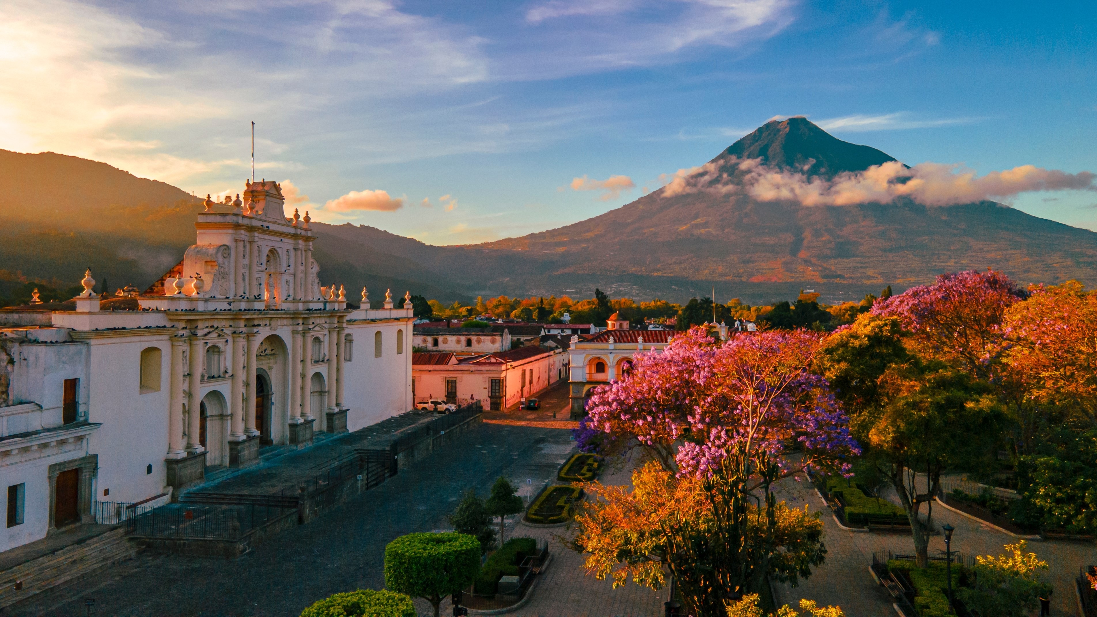
Antigua and Volcanoes
Former colonial capital founded in 1543, Antigua unfolds its cobblestone streets between the Agua, Fuego and Acatenango volcanoes. The city can be explored on foot in two days, among the cathedral ruins, convent courtyards and specialty cafés sourced from surrounding plantations. It is our departure base for the two-day Acatenango ascent, with bivouac at 3,600 meters facing the nightly eruptions of Fuego, still active. Temperatures remain pleasant year-round, 22°C during the day, 12°C at night. Many travelers extend their stay to take a few days of Spanish classes.
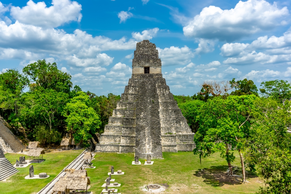
Petén and Tikal
The northern region, flat and covered in tropical forest, is home to the great classical Maya cities. Tikal remains the major site, with its five large pyramids emerging from the canopy, accessible from Flores in one hour's drive. Yaxhá, less crowded, offers a sunset over the lake from pyramid 216. For hikers, El Mirador is reached by five days of trekking round-trip through the jungle. The climate here is hot and humid year-round, 28 to 32°C, with heavy showers between June and October. Plan for two to three nights on site, ideally with an entry to Tikal at sunrise.
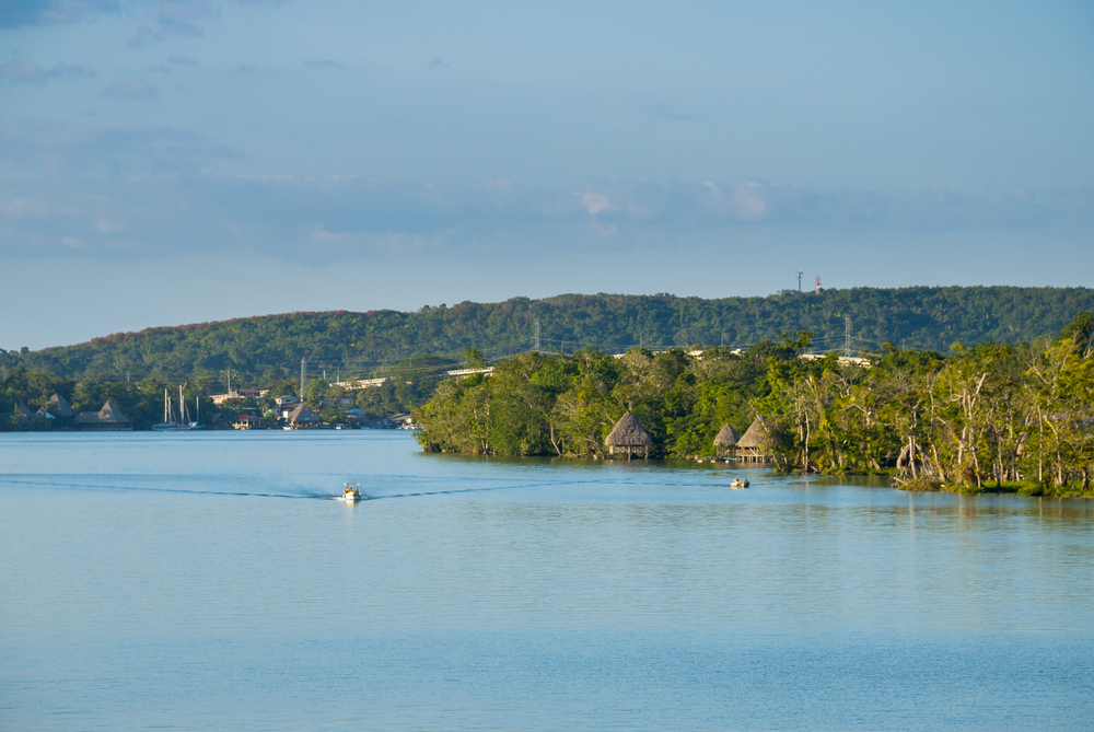
Caribbean Coast and Rio Dulce
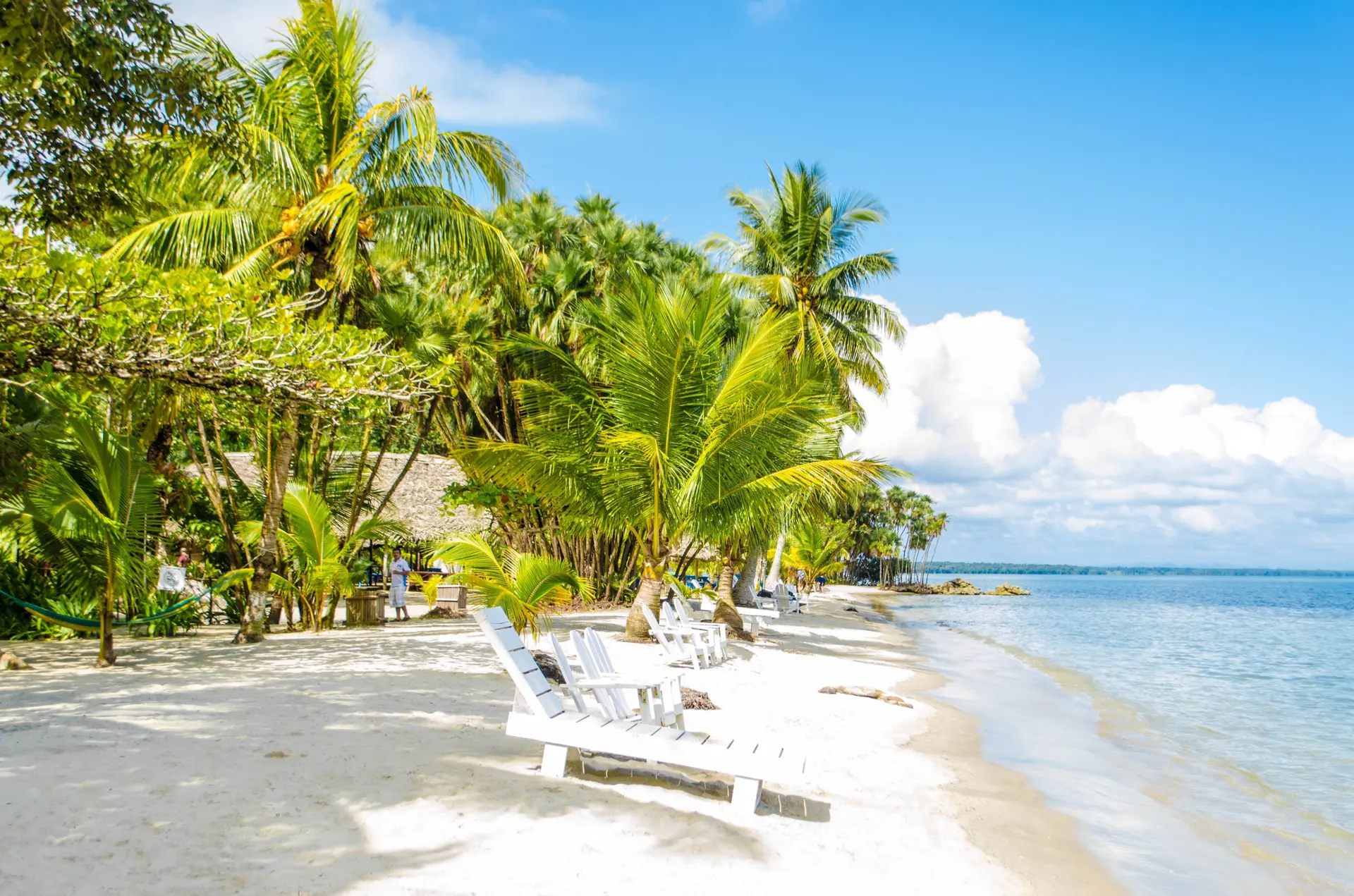
Where Lake Izabal meets the sea, the Rio Dulce winds for 40 kilometers between vegetation-covered cliffs to Livingston, a small Garifuna town accessible only by boat. Here, Creole is spoken, tapado—a coconut milk fish soup—is the local cuisine, and punta music has replaced the marimba. Our team often combines this area with a night in an eco-lodge on the river and an excursion to the manatee reserve. The climate remains tropical and humid, warm year-round. A brief yet unforgettable Afro-Caribbean experience to insert between Tikal and your return to the capital.
Verapaces and Semuc Champey
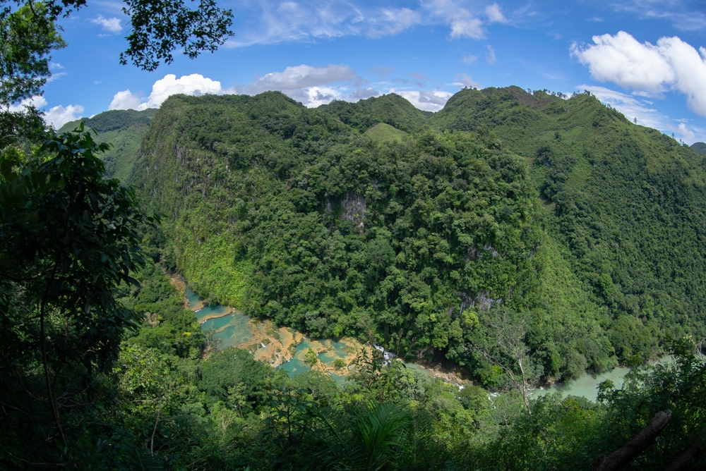
In the heart of the country, the Alta and Baja Verapaz departments form a humid karst mountain zone that sees few visitors. Semuc Champey features seven turquoise limestone pools perched above an underground river, 1.5 hours by rough road from Lanquín. This region requires effort to reach — the road from Cobán is long and bumpy — but it rewards you with landscapes quite different from the rest of the country: low-lying clouds, high-altitude coffee plantations, K'anba caves. Plan for at least two nights in the area. Temperatures range between 18 and 24°C, and rain often falls in the late afternoon, even during the dry season.
Explore by theme
Unique experiences tailored to every traveler.
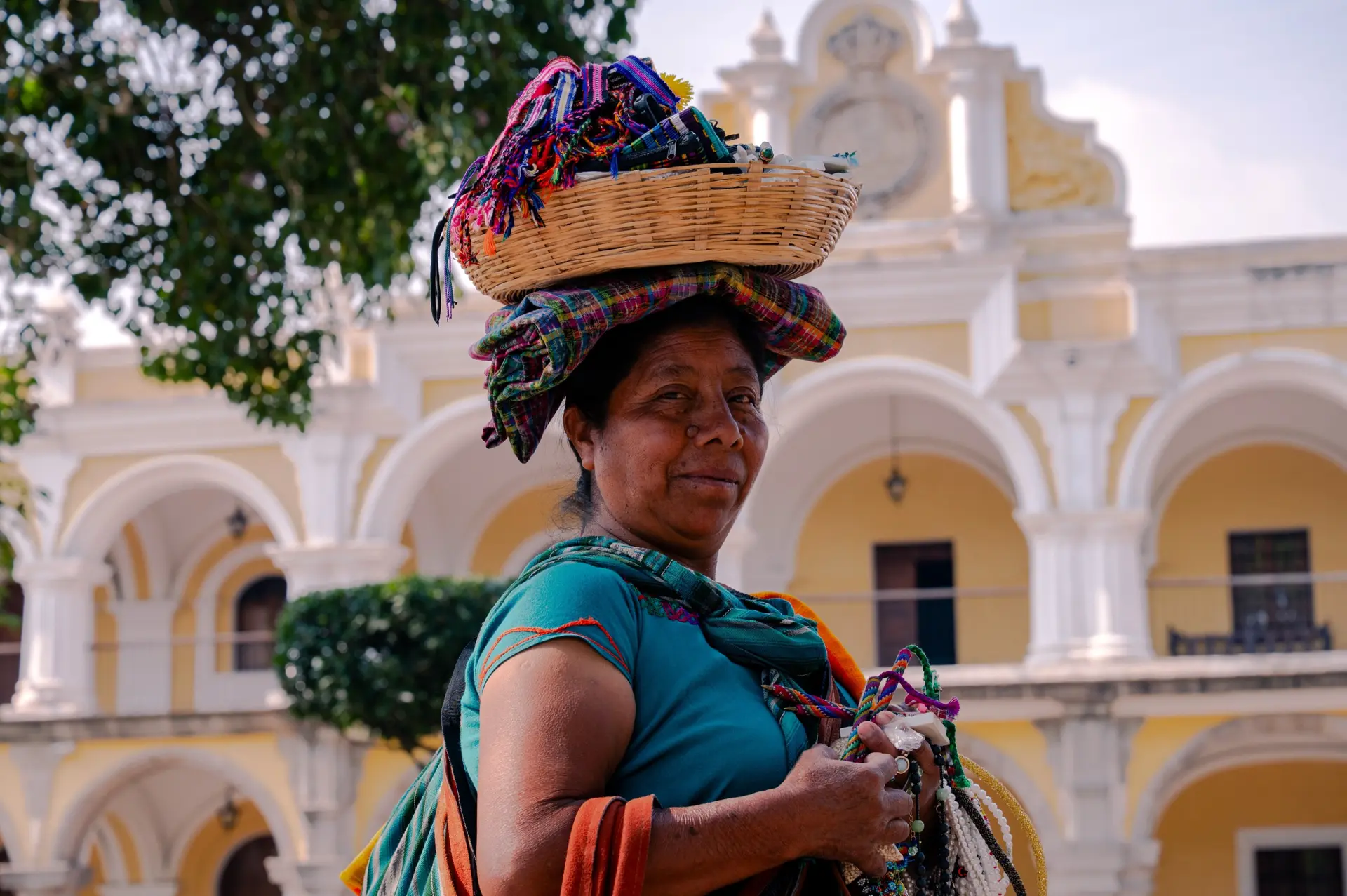
Culture & Heritage
Temples, musées, sites historiques
Nature & Landscapes
Parcs nationaux, montagnes, forêts
Sea & Beaches
Littoral, îles, sports nautiques
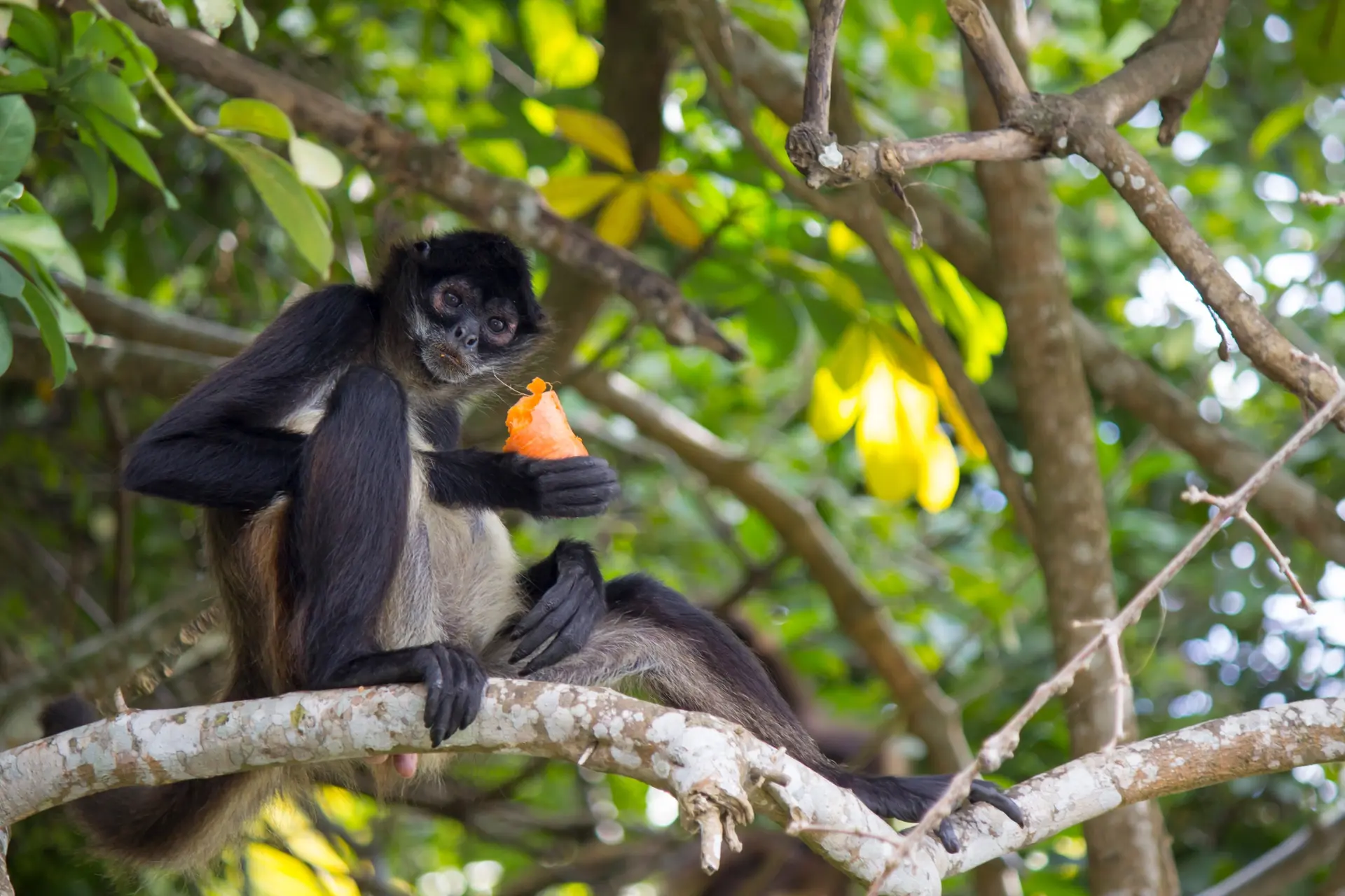
Wildlife & Biodiversity
Observation animale, sanctuaires, réserves
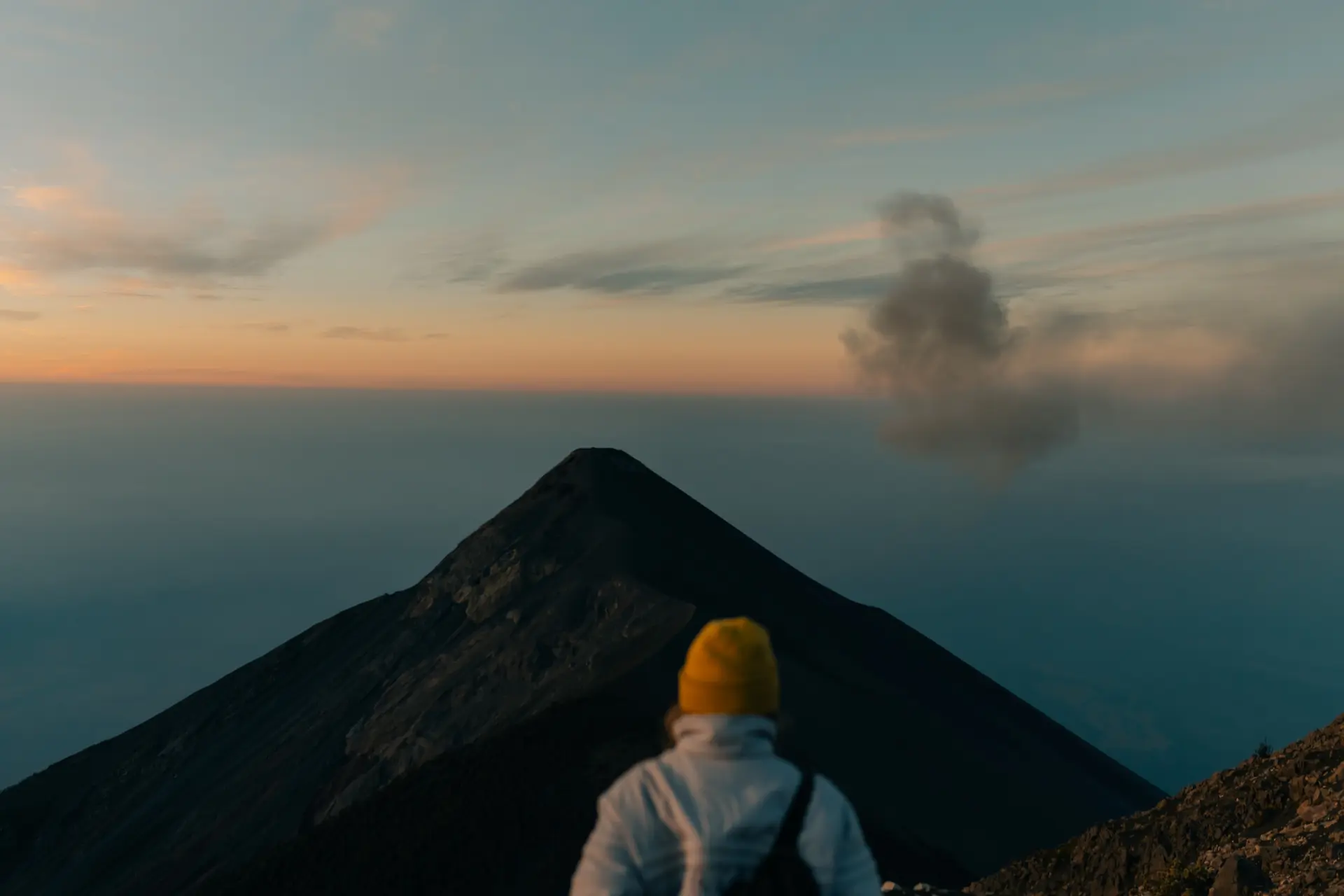
Activities & Adventure
Trek, kayak, escalade, sports outdoor
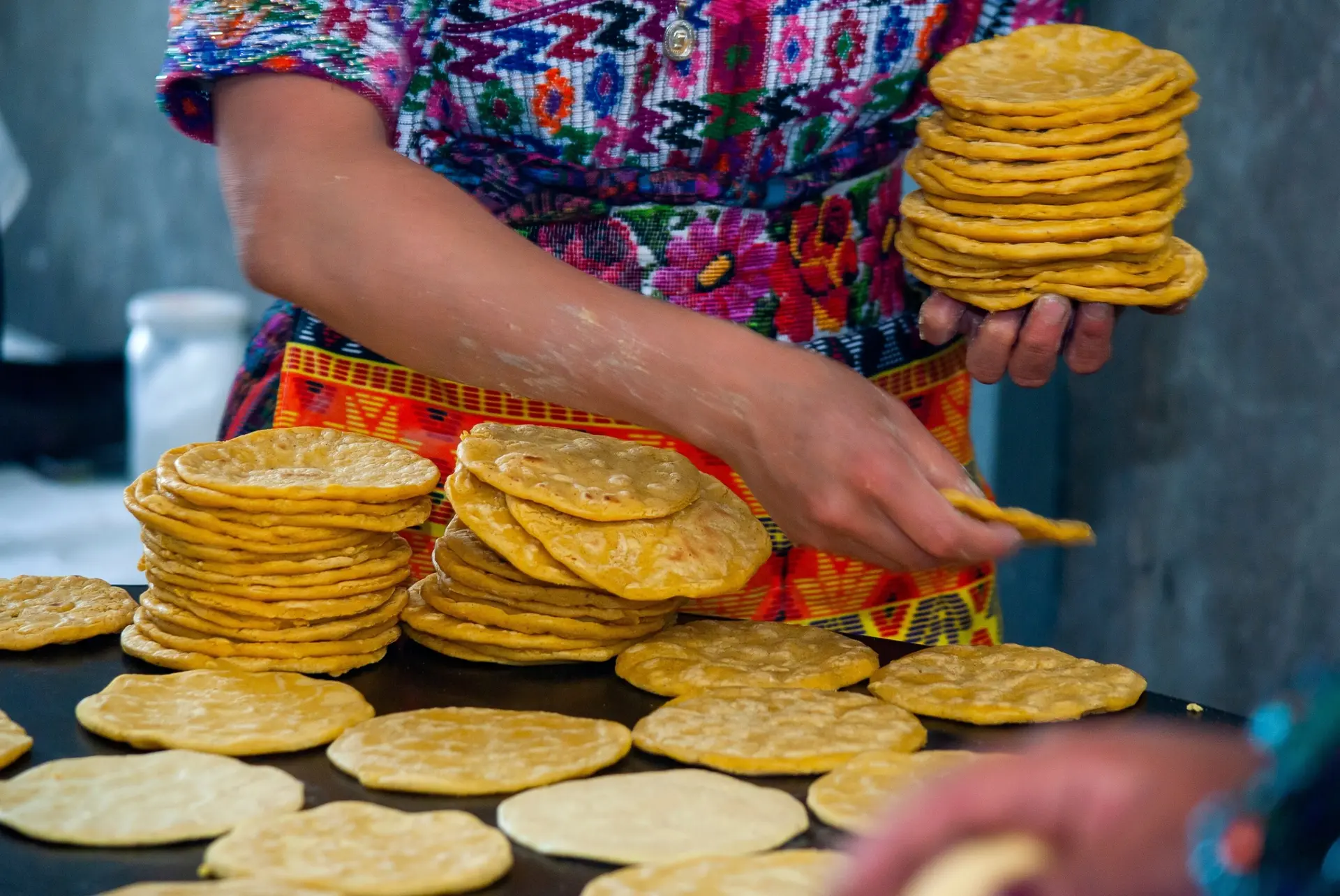
Gastronomy
Cuisine locale, marchés, cours de cuisine
We use cookies to improve your experience and measure our site's audience. You can choose what you accept. Learn more.