Geographic Diversity
Bordered to the south by the Pacific Ocean and to the east by the Caribbean Sea, Guatemala encompasses within its territory partially volcanic mountains in the south that contrast with low plateaus in the north. Its population, still predominantly Maya, is growing rapidly (estimated at over 17 million inhabitants).
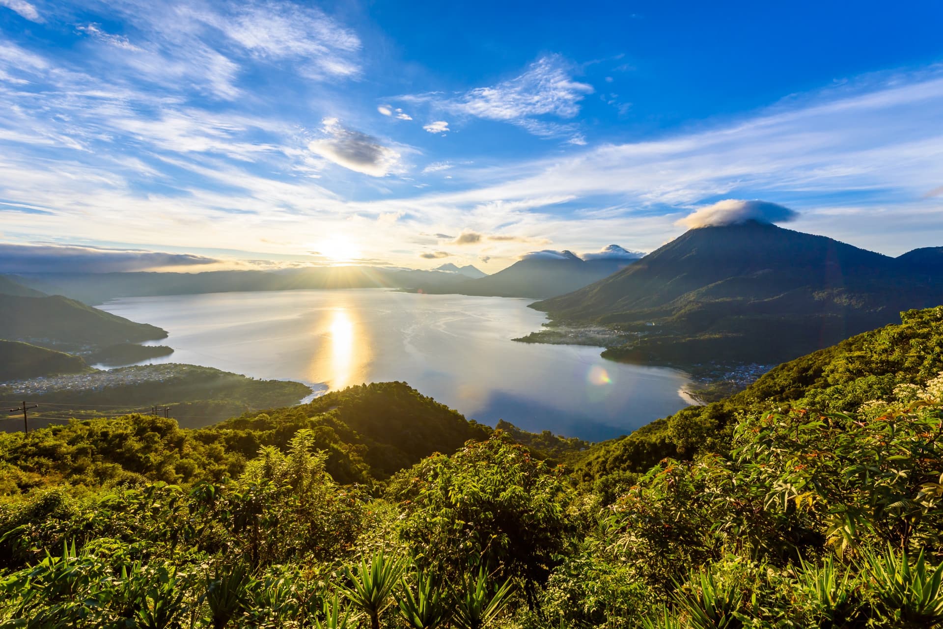
Bordered to the south by the Pacific Ocean and to the east by the Caribbean Sea, Guatemala encompasses within its territory partially volcanic mountains in the south that contrast with low plateaus in the north. Its population, still predominantly Maya, is growing rapidly (estimated at over 17 million inhabitants). The Guatemalan territory is traversed from east to west by the Sierra Madre, a mountain range of active volcanoes whose highest peak is the Tajumulco volcano (4,220m).
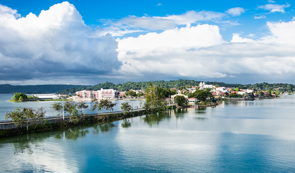
To the north, the Petén occupies a third of the country's area. This limestone plain, covered by humid tropical forest and some savanna, has long been considered difficult to access. However, the discovery of oil, the creation of cattle ranches, and the massive exploitation of valuable timber by large foreign firms have sparked the development of pioneer frontiers. Moreover, it is home to most of the archaeological sites from antiquity (pre-classical and classical periods), including the site of Tikal, one of the most visited Maya sites.
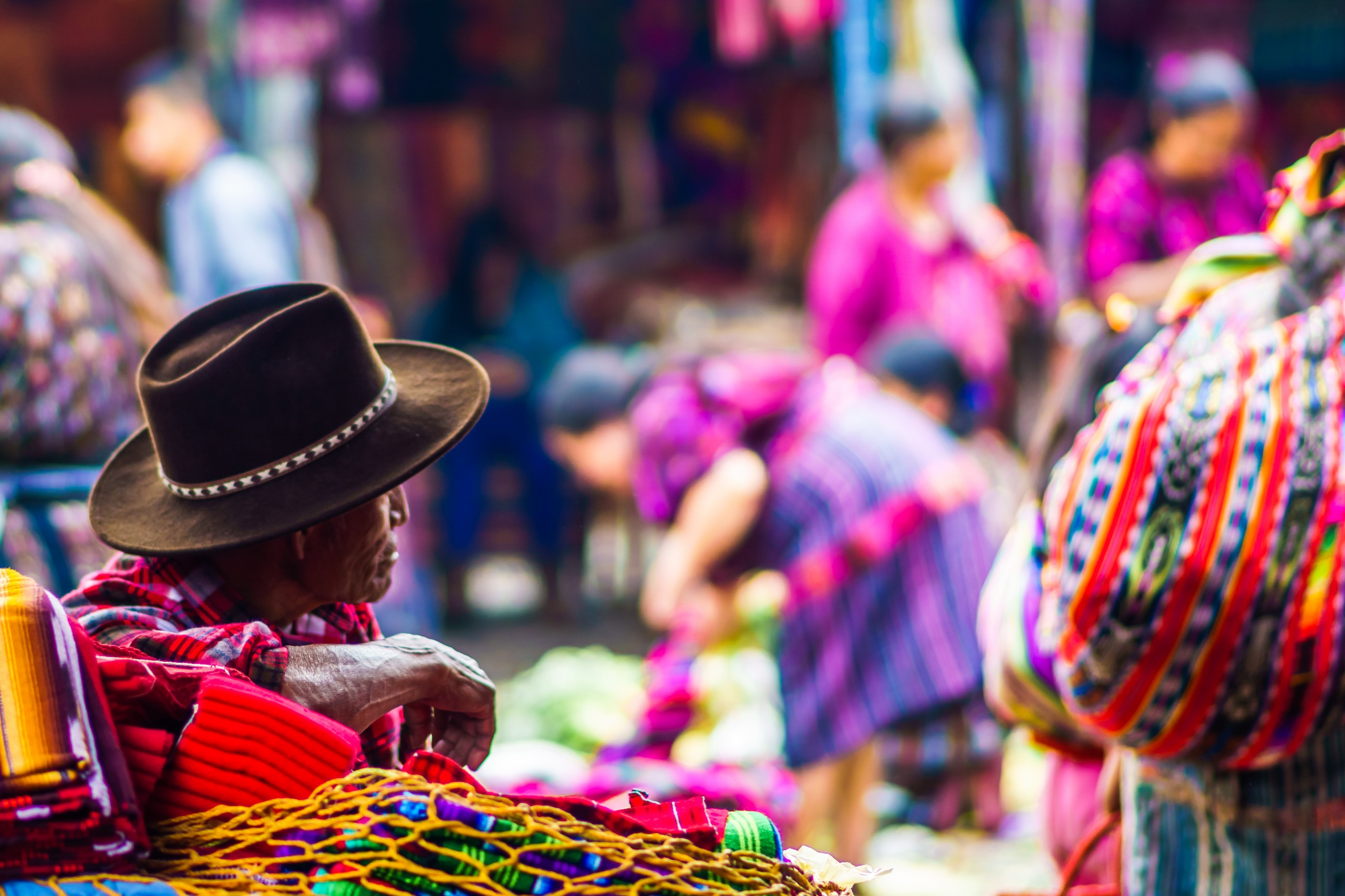
In the center extends the region of the Highlands, formed by mountain massifs exceeding 3,000 m in elevation (Altos Cuchumatanes, Alta Verapaz, las Minas…), dominated to the south by the Sierra Madre. Rainfall here is less abundant than elsewhere, and the population, essentially Maya and rural, lives in the high basins (between 1,800 m and 2,400 m elevation). Maya descendants here engage in subsistence farming.
Finally, in contrast with these landscapes, the Pacific piedmont, well-watered and cultivated, slopes toward the coastal plain and constitutes, along with the Honduran border zone, the most prosperous region of the country. Abundant rainfall and the natural enrichment of the soil by volcanic ash have enabled the development of export agriculture (coffee, sugarcane, cotton, tropical fruits), marked by the presence of gigantic landed estates, the fincas. This area is therefore perfectly connected to Pacific and North Atlantic markets by the trans-oceanic highway linking the ports of San José and Puerto Barrios.