Mayan Highlands
Around Lake Atitlán and Chichicastenango, a high-altitude region between 1,500 and 2,500 meters where Mayan languages, cofradías and markets shape daily life.
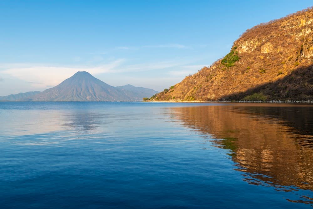
The Mayan Highlands occupy western Guatemala, from the Sololá department to the mountains of Huehuetenango. It is a high-altitude region, between 1,500 and 2,500 meters, structured by the Sierra Madre and dotted with active or dormant volcanoes. Lake Atitlán, at 1,562 meters, sits within a caldera formed 84,000 years ago, framed by the volcanoes Tolimán, Atitlán and San Pedro, all rising above 3,000 meters. Around the lake and further north live the Mayan peoples—Tzutuhils, Cakchiquels, K'ichés and Ixils—who still speak their languages in daily life.
The temperate highland climate sets the region's rhythm: mild days around 20 to 22°C, cool nights dropping to 8 or 10°C in December and January. Rains come from May to October, often in late afternoon, leaving mornings clear over the volcanoes. This cool climate shapes terraced agriculture, white and black corn, beans, specialty coffee from cooperatives in San Juan La Laguna or Atitlán, and sheep herding on pastures above 2,500 meters, toward Quetzaltenango and the Cuchumatanes.
Lake Atitlán remains the anchor point for most stays. Panajachel serves as gateway and hub for lanchas—collective boats linking twelve lakeside villages. Each has its specialty: San Juan La Laguna for weaving cooperatives still working natural dyes from cochineal and indigo, Santiago Atitlán for the cult of Maximón, a syncretic deity housed each year in a different cofrade's home, San Marcos for its more contemplative orientation, and San Pedro La Laguna at the foot of its namesake volcano, a 5 to 6 hour round-trip climb. East of the lake, the Cakchiquel village of San Antonio Palopó descends in terraces to the shore, recognizable by its blue huipiles.
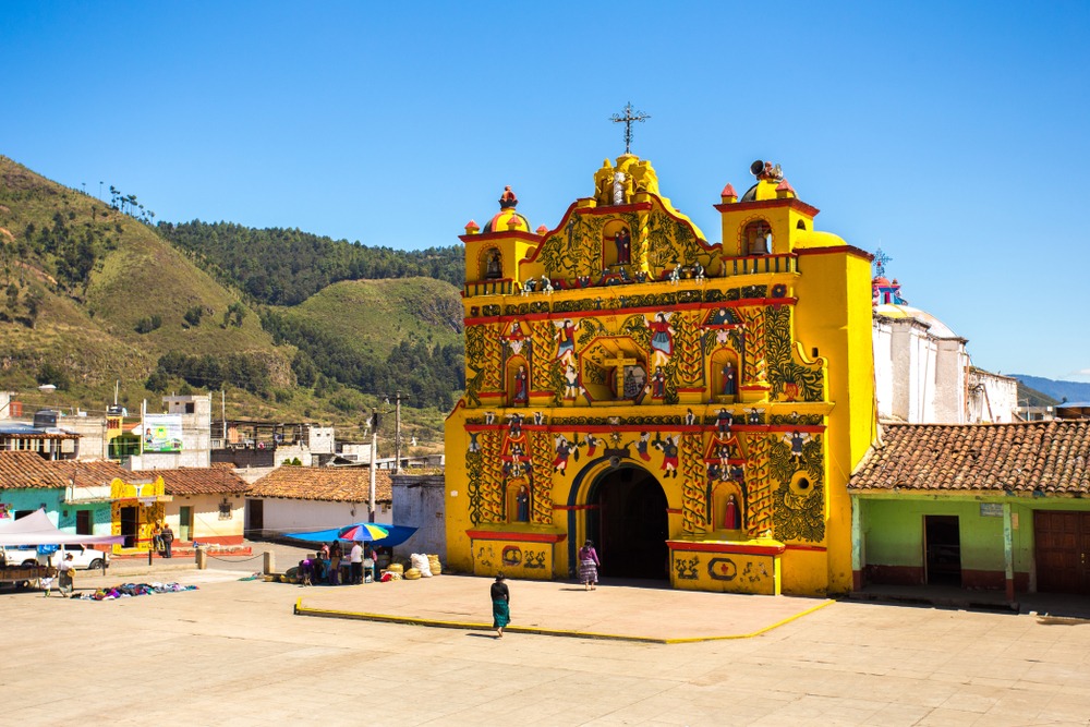
North of the lake, Chichicastenango holds its market on Thursdays and Sundays. It is one of the country's major commercial gatherings, where K'iche women sell textiles, copal, fruit and pottery. The Santo Tomás church, built on a pre-Hispanic platform, hosts rituals blending incense, petals and colored candles, led by ajq'ij—Mayan priests of the sacred tzolk'in calendar. Further west, Quetzaltenango, called Xela by locals, serves as a base for the Ixil region and climbs of Santa María (3,772 m) or Tajumulco, Central America's highest peak at 4,220 meters.
The Ixil region, around Nebaj, Chajul and Cotzal, remains less visited. It paid a heavy toll during the internal armed conflict of the 1980s, and the community fabric is rebuilding around agriculture and community tourism. Markets are vibrant, Ixil huipiles display horse and bird motifs found nowhere else. Further north still, the Cuchumatanes peak at 3,837 meters at the Juan Diéguez Olaverri overlook, a high grazing plateau where it freezes several nights a year.
Gastronomically, the region savors pepián, a thick stew of ground squash and sesame seeds, kak'ik, spiced turkey soup originating in the neighboring Verapaces but served everywhere, and corn tamales cooked in husks. Specialty coffee from Atitlán and Huehuetenango ranks among the country's finest, and several cooperatives, notably La Voz Que Clama en el Desierto in San Juan, welcome visitors for farm tours and tastings.
Must-see experiences
Lancha crossing on Lake Atitlán. An hour's navigation between Panajachel and Santiago Atitlán, with the three volcanoes revealing themselves through the morning before clouds rise around noon.
Chichicastenango market. Thursdays and Sundays, streets around Santo Tomás fill with tarps and huipiles. Inside the church, ajq'ij burn copal on the steps of a pre-Hispanic platform.
San Juan La Laguna weaving cooperatives. Demonstrations on backstrap looms and explanations of natural dyes from cochineal, wild carrot and indigo. Allow 2 hours to understand a huipil.
Ixil region around Nebaj. Minimum three days to explore Nebaj, Chajul and Acul, hike trails between villages and meet families still producing a Manchego-style cheese introduced by Italians in the 1940s.
San Pedro volcano climb. 5 to 6 hours round-trip from San Pedro La Laguna, 1,400 meters elevation gain through cloud forest, summit at 3,020 meters with plunging views over the lake.
When to visit
The dry season runs from November to April and remains the most comfortable period for exploring the region. Mornings are bright, volcanoes clear, daytime temperatures around 20 to 23°C. Nights, however, drop to 8 or 10°C in December and January by the lake, and near 0°C in the Cuchumatanes above 3,000 meters. Pack fleece and windbreaker for evenings and early morning climbs.
From May to October, the rainy season soaks afternoons mostly. Mornings remain passable, but secondary roads to the Ixil region or remote villages may deteriorate. September and October concentrate the heaviest rains, with totals exceeding 250 mm monthly around Atitlán, and risk of landslides on the road between Sololá and Panajachel. April and November offer a good compromise: greenery still present, skies often clear, and moderate crowds compared to the peak season of December to February.
Practical advice
Plan a minimum of 4 to 5 days on site to cover Lake Atitlán, Chichicastenango on a market day, and a foray toward Quetzaltenango or the Ixil region. A week allows you to add the Cuchumatanes or a multi-day trek between villages. Access is by road from Guatemala City or Antigua, approximately 3 hours to Panajachel via the CA-1, or 3.5 hours to Chichicastenango. There is no operational regional airport for travelers; everything routes through La Aurora in Guatemala City.
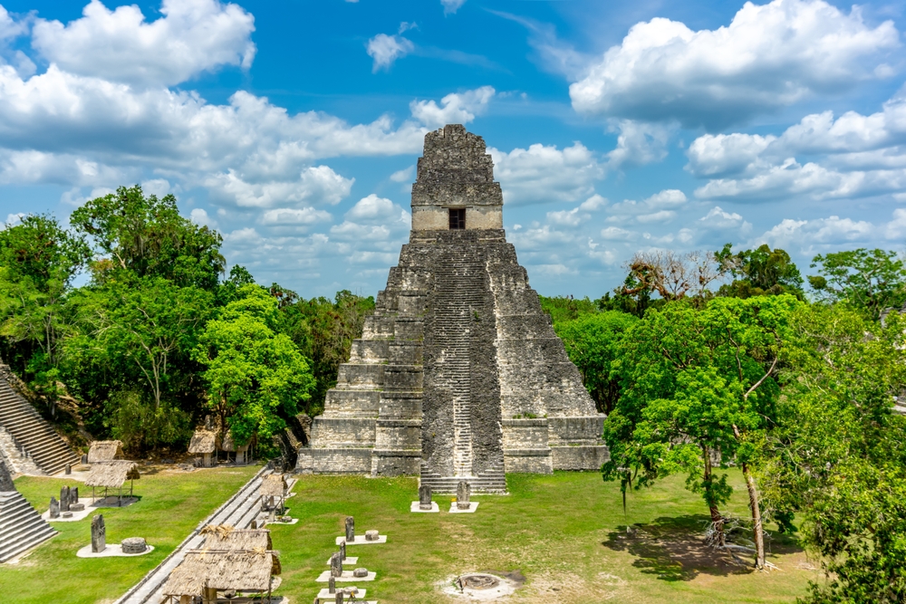
The region combines naturally with Antigua and the volcanoes, just to the east, for a 10 to 12 day highland loop. For travelers with two weeks, linking with Petén and Tikal to the north via domestic flight from Guatemala City remains the most comprehensive option. The Verapaces and Semuc Champey coordinate less easily by road; expect a full day of transfer. Comfort ranges from charming lakeside hotels like those in Santa Cruz or Jaibalito to community guesthouses in the Ixil region, more rustic but often memorable for encounters. The region suits contemplative travelers, lovers of living cultures, moderate-altitude hikers, and families with children from 8 or 9 years old due to winding roads and altitude.