Caribbean Coast and Rio Dulce
Guatemala's Afro-Caribbean facade: a 40 km river canyon, the roadless Garifuna town of Livingston, and the country's largest lake.
Guatemala's Caribbean coast stretches along a narrow band between Honduras and Belize, around the Izabal department. It is the country's only Atlantic-facing shoreline, and it resembles nothing else on the territory: here Maya culture gives way to the Garifunas, descendants of deported Africans and Caribbean Amerindians who settled these shores in the 18th century after their exile from Saint Vincent. In Livingston, people speak Garifuna, English Creole, and Spanish—sometimes all in the same sentence.
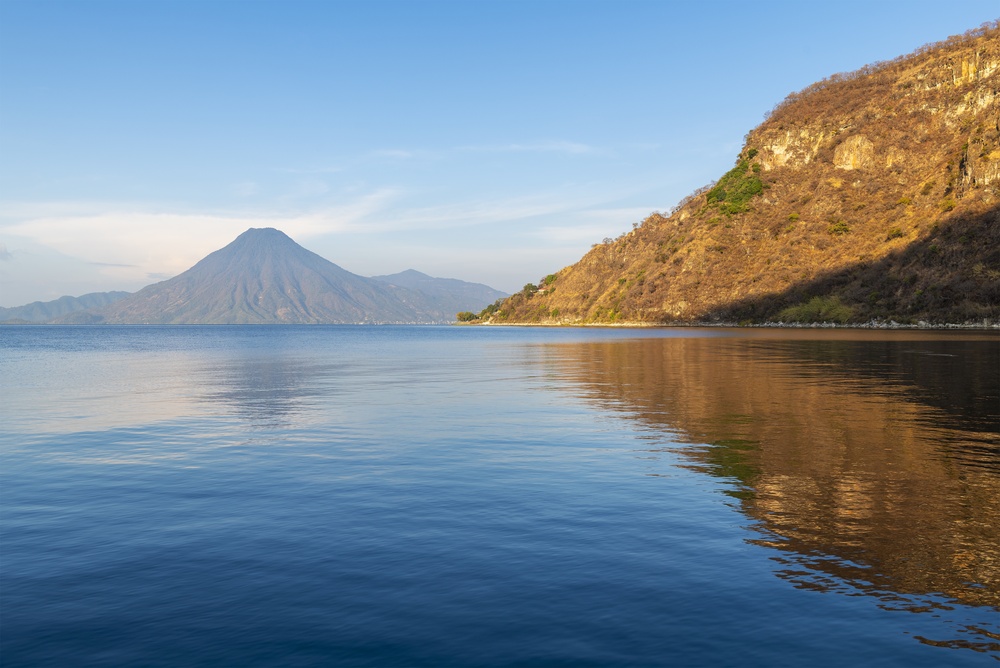
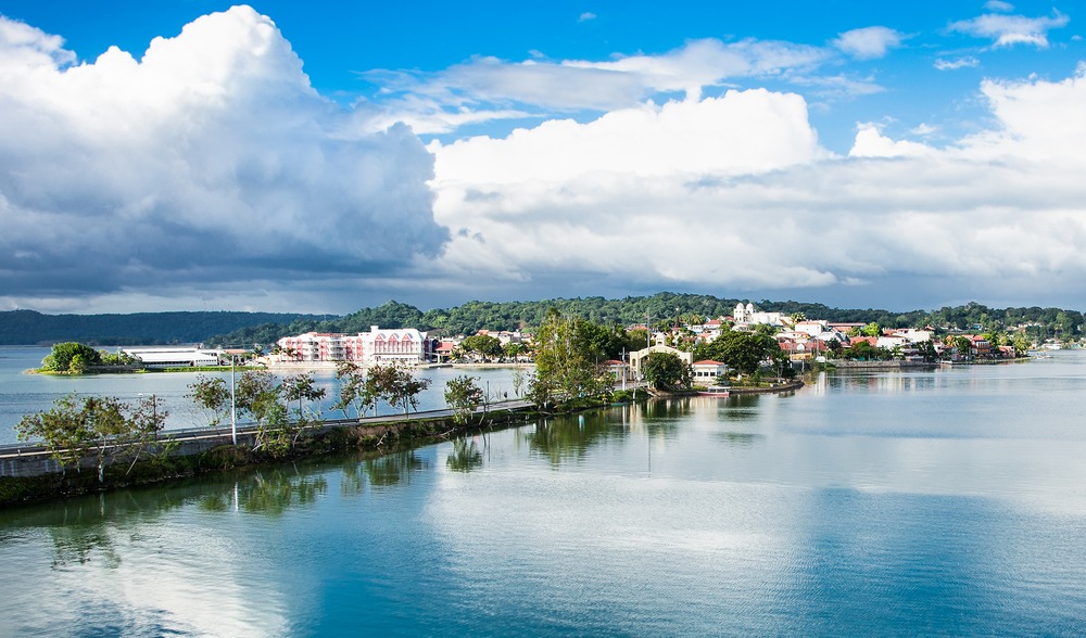
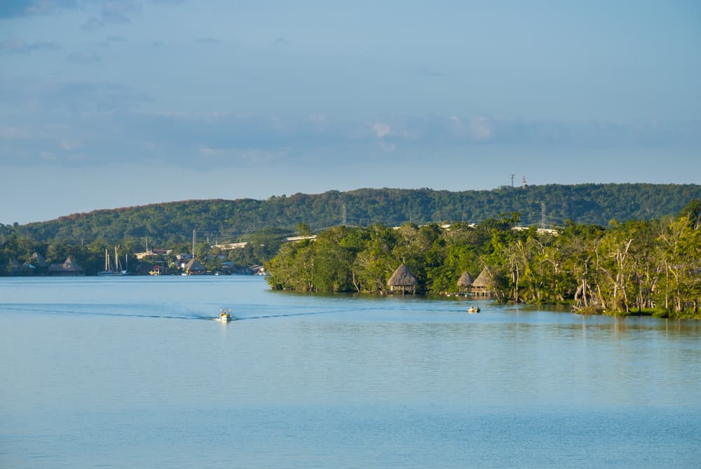
The region's geography revolves around two bodies of water. Lake Izabal first, Guatemala's largest lake at 590 km², bordered by the small town of El Estor to the north and the colonial fortress of San Felipe to the south. Then the Rio Dulce, which drains the lake toward the sea over some forty kilometers through a canyon covered in tropical forest, with cliffs reaching 100 meters in places, sulfurous hot springs bubbling from the banks, and agami herons nesting in the mangroves. The canyon's mouth opens onto Amatique Bay and the Caribbean Sea.
Livingston, at the estuary, can be reached only by boat from Rio Dulce town or Puerto Barrios. This enclave of roughly 6,000 inhabitants keeps Caribbean time: wooden houses on stilts, punta drums replacing the marimba, and a cuisine rich with coconut milk. Tapado, the emblematic soup, simmers fish, shrimp, crab, plantain, and coconut in a single pot. Pan de coco sells warm at street corners. The Garifuna celebrations on November 26th, commemorating their ancestors' arrival on these shores in 1802, spark several days of processions and dancing.
Beyond Livingston, the coast extends toward Siete Altares, a succession of freshwater pools cascading through the jungle, and to Playa Blanca, one of the country's few white-sand beaches, accessible by lancha from the village. On the biodiversity front, the Chocón Machacas Biotopo reserve, midway along the Rio Dulce, protects Guatemala's last Caribbean manatees. Spotting them requires luck and considerable patience: these discreet mammals spend most of their time submerged.
The local economy rests on fishing, river tourism, and the commercial port of Puerto Barrios, which handles a large share of the country's banana and coffee exports. The contrast between Puerto Barrios' bustling port and Livingston's slowness can be traversed in 30 minutes by boat. For our team based in the capital, this region is Guatemala's Afro-Caribbean gateway, a sharp cultural shift after the Maya highlands or the Petén jungle.
The tropical humid climate stays warm year-round with averages between 26 and 30°C. Humidity often exceeds 80%, and showers can fall even in the so-called dry season. It is this abundant water that sustains the canyon's lush vegetation and feeds the rivers flowing down from the Sierra de Santa Cruz toward the lake.
What to discover
Navigation through Rio Dulce canyon. Two hours by lancha between Rio Dulce town and Livingston, passing under the suspension bridge, along cliffs draped in bromeliads, and by the hot springs of Aguas Calientes where sulfurous water gushes at 40°C into the river.
Livingston and Garifuna culture. A minimum of one night in this roadless town to taste tapado in a fonda in Barrio Nevago, hear the garagon drums as afternoon fades, and walk to Siete Altares via Capitanía beach.
San Felipe Castle. A 17th-century Spanish fort positioned at the junction of Lake Izabal and Rio Dulce, built to repel English pirates climbing up from the Caribbean. The visit takes an hour; the sunset from the ramparts deserves another.
Chocón Machacas manatee reserve. Kayaking excursion through the Biotopo's interior lagoons with a local guide. Beyond the manatee (rarely visible), you can observe howler monkeys, keel-billed toucans, and green iguanas in the mangrove.
Finca Paraíso and its hot waterfall. On the north shore of Lake Izabal, a thermal waterfall at 50°C plunges into a cool river, forming a natural pool at blended temperature. Access by trail from El Estor, few visitors on weekdays.
When to visit
The most comfortable period runs from February to May, with warm days (28 to 32°C) and scattered rainfall. December and January remain pleasant but the nortes—cold winds from the north—can drop nighttime temperatures to 20°C and churn the sea for two or three days in a row. The rainy season runs from June to October, peaking in September-October when monthly totals exceed 400 mm. During these months, showers often fall in late afternoon as brief but intense storms, leaving mornings suitable for navigations.
Unlike the highlands, there is no altitude here to cool the air: heat and humidity are constant. Beach lovers will prefer March-April, when the sea is calmest. For the Garifuna Yurumein festival on November 26th in Livingston, reserve accommodations well in advance—lodging fills quickly.
Practical advice
We recommend 2 to 3 nights in the area: one in Rio Dulce town at an eco-lodge on the river (Tortugal, Kangaroo, or similar, accessible only by lancha), then one or two in Livingston to allow time for excursions to Siete Altares and Playa Blanca. Visiting in a single day is possible but frustrating: you merely pass through. Access comes by road from the capital (5 hours via CA-9) or more naturally by transfer from Flores and Tikal (4 hours drive), making it a logical stop on the return route to Guatemala City.
The region combines well with Petén and Tikal to the north, or with the Verapaces and Semuc Champey to the west for those descending via the forest road from Lanquín. The comfort of Rio Dulce's eco-lodges is good; Livingston's is more rustic with a few charming hotels in Barrio Nevago. This zone suits travelers curious about Afro-Caribbean cultures, birdwatching enthusiasts, and families with children from age 6 onward—navigations are short and engaging. Hikers and archaeology site hunters will find less to satisfy them here than elsewhere in Guatemala.